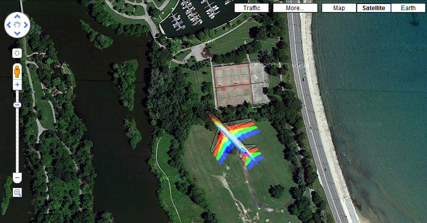
Airplane spotted in Google Maps
Another off-topic post. I was searching Google Maps today for a location on the east side of Chicago when I noticed that the satalite photo captured a plane flying overhead. It is pretty cool and as you can see, the satalite must capture the image in several passes, as there is a version for each clor as the plane passes by.
If you want to see this for yourself, click here. Very cool.
2 Responses to Airplane spotted in Google Maps
Comments are closed.
Categories
- Off Topic (1)
- Project Soane (2)
- BIM After Dark (Revit Kid) (2)
- Tips and Tricks (29)
- Oddities (5)
- Book News (23)
- Video Training News (7)
- Speaking Engagements (5)
- Renaissance Revit (12)
- Off Topic (8)
- Revit Concepts (1)

Interesting how it looks like it captured the image in separate RGB passes, but since the plane was moving fast the passes are at different positions.
There actually seems to be a fourth “phase” at the nose of the aitrplane it looks like a black/gray outline. An alpha channel maybe? It makes sense though, I think i recall that NASA photos are always shot in different spectrums and such, so it seems logical that the satalite woudl do the same.